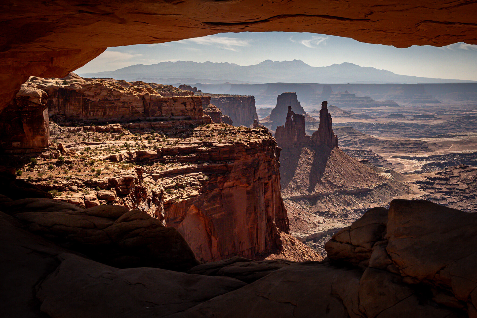
The view from Mesa Arch, in the Islands in the Sky region of the park is
a short walk from the road and a very popular spot for photographers.
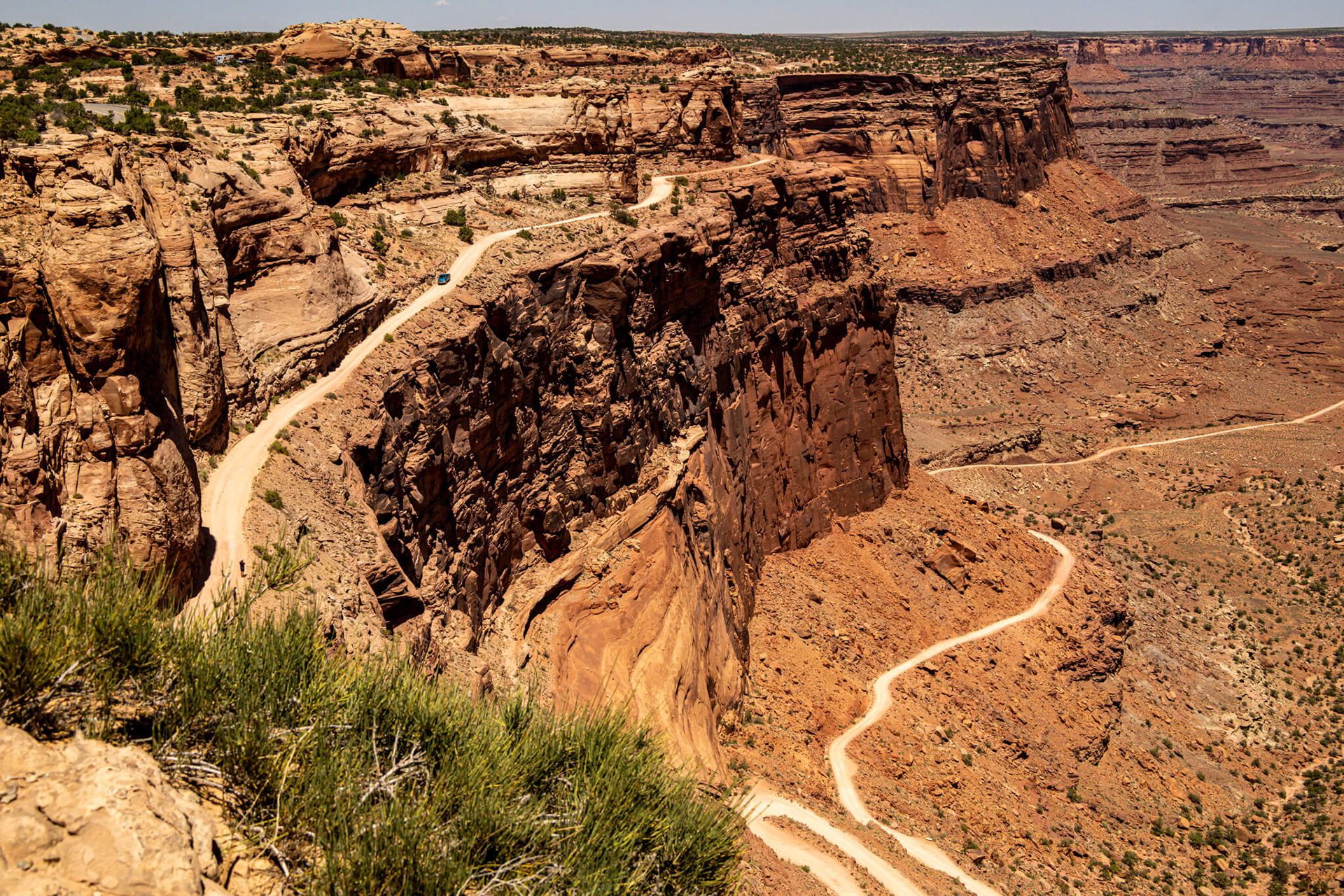
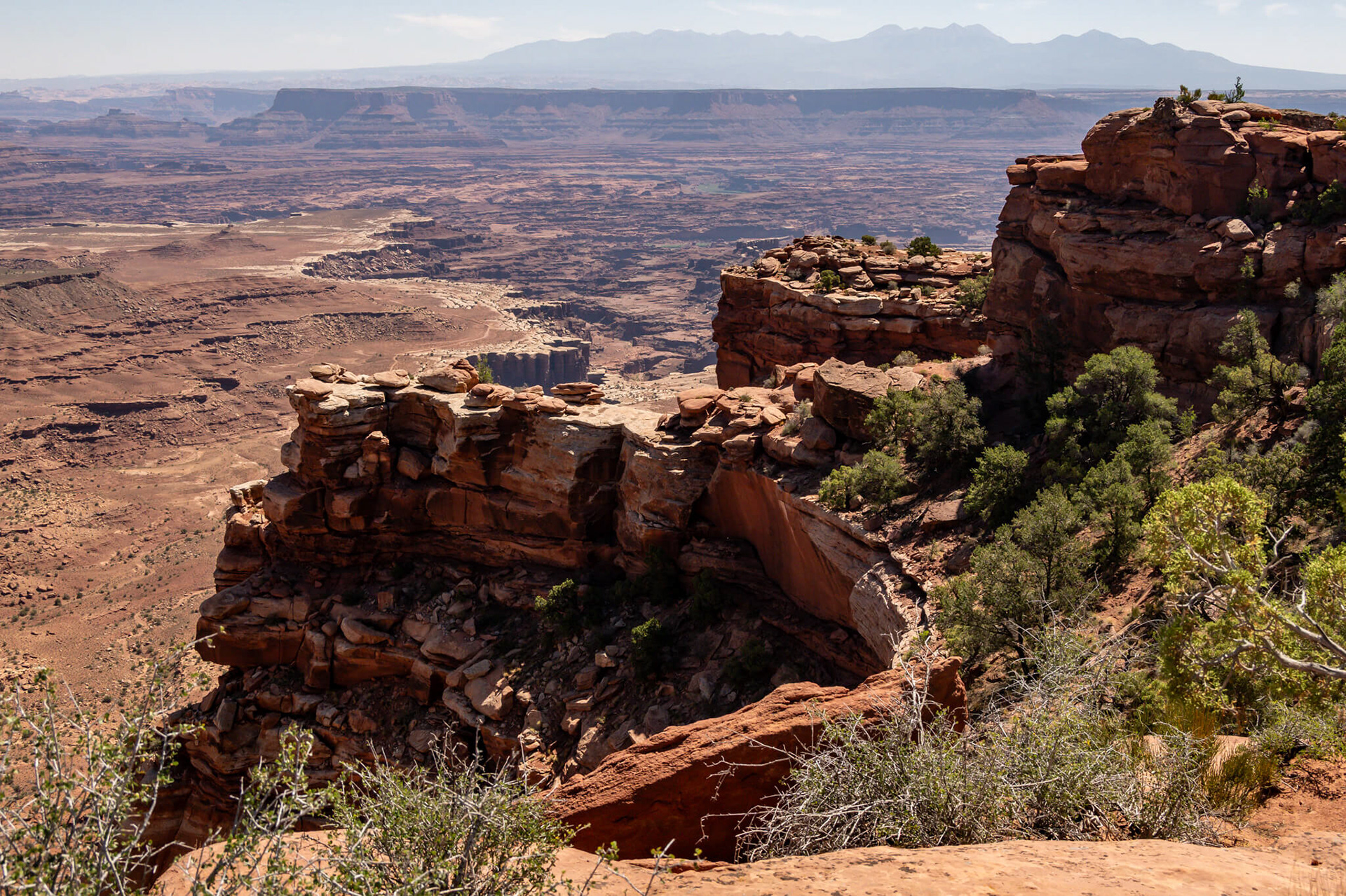
The Schafer Trail is a scenic, unpaved 4x4 backcountry route that descends 1,500 feet via dramatic switchbacks from the Island in the Sky mesa top toward the Colorado River
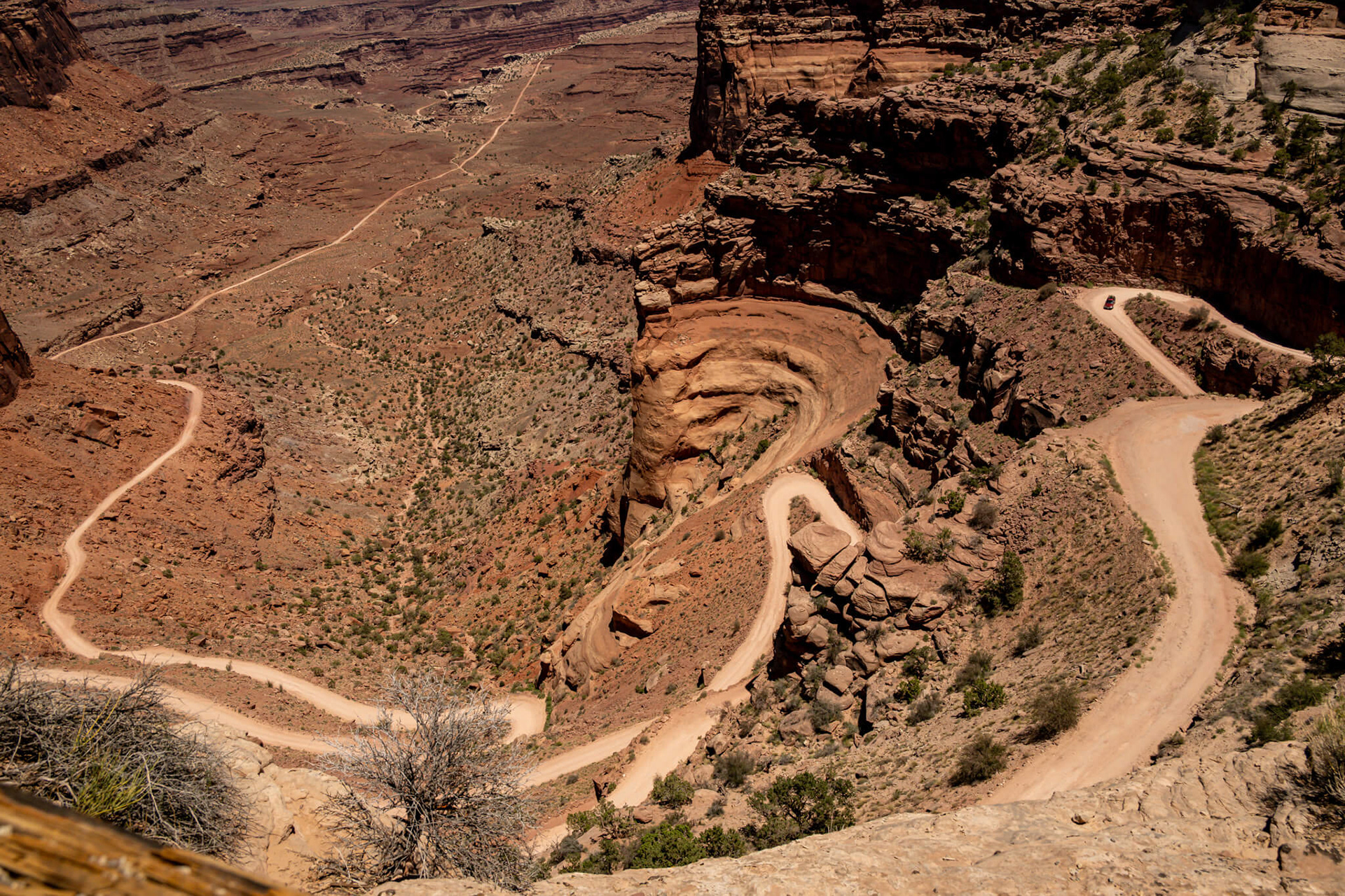
Spanning about 19 miles (often connecting to Potash Road), this thrilling, sometimes narrow route offers panoramic canyon views, requires high-clearance vehicles, and is often combined with a trip from Moab.
The Maze district is the most remote, rugged, and least accessible area of Canyonlands National Park, requiring high-clearance 4WD, self-sufficiency, and advanced navigation
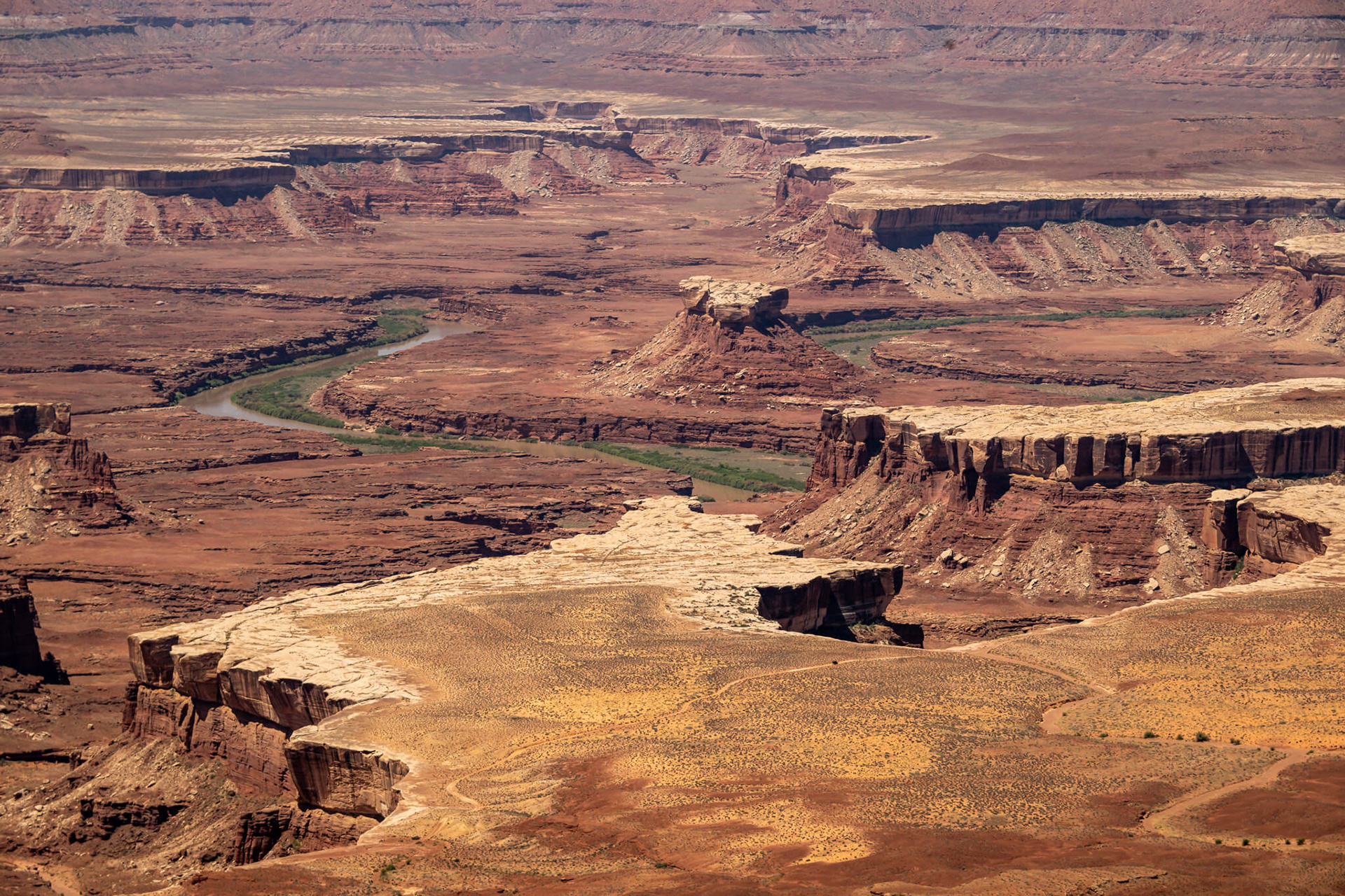
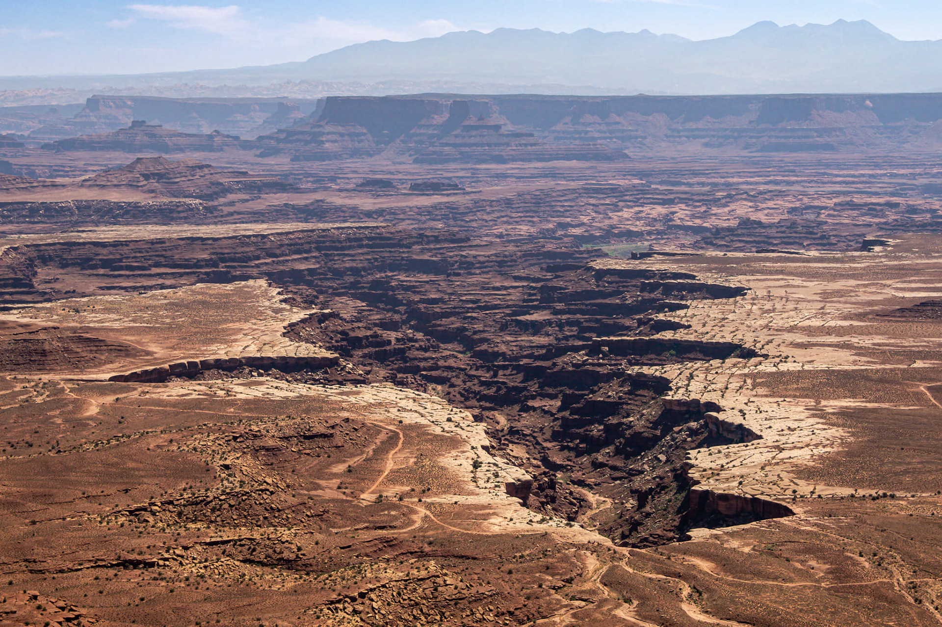
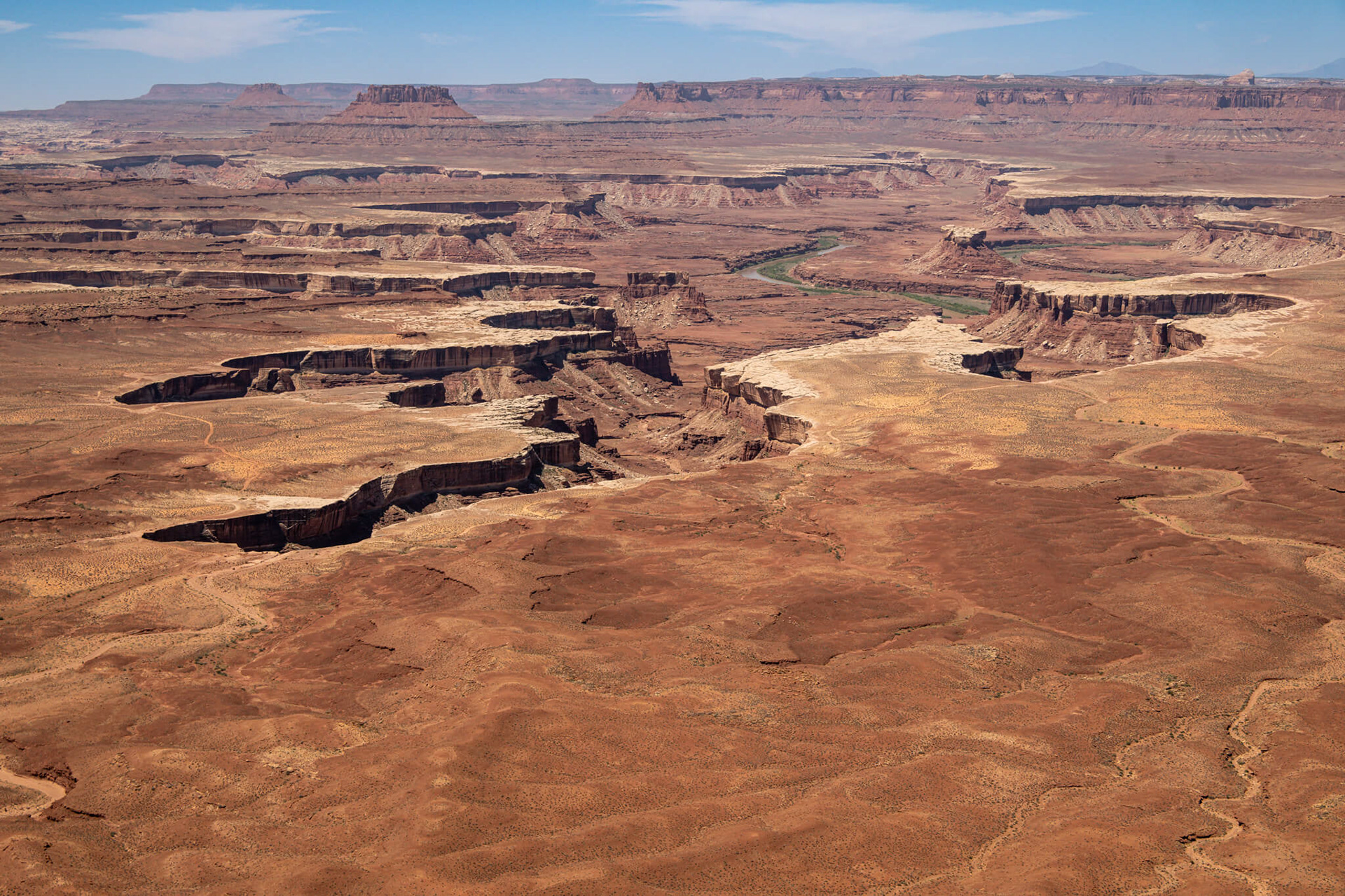
The Colorado and Green rivers wind through the heart of Canyonlands, cutting through layered sandstone to form two deep canyons. In stark contrast to the hot, sunny desert above, the river corridors are remarkably green, shady, and full of life.